Hawthorne’s first airport – Kelly Field
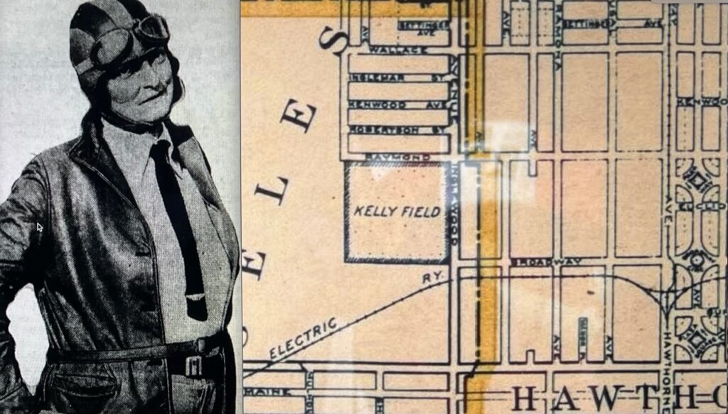
Kelly Field, the first airport in Hawthorne, opened officially October 8th 1927The headlines read: “The California School of Aeronautics will have its official opening here tomorrow October 8th1927 at 2:30. The landing field and hangars of this new institution are at the junction of Inglewood Avenue and Broadway – 8 acres were acquired (between Inglewood […]
Trading Places – Streets, Numbers and Time
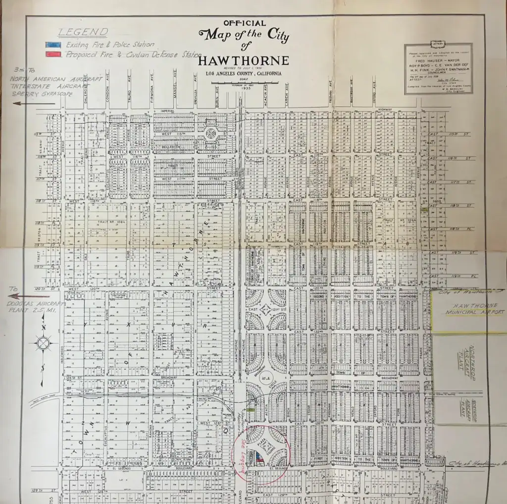
The Hawthorne Historical Society’s informal timeline of our city’s story in the greater context of history from the last Ice Age to the present is playfully titled, “You Are Here,” [hawthornehistoricalsociety.org>Our Blogs>Free Blog] referring to the helpful displays customarily posted near the entrances of public attractions to assist new visitors in orienting themselves in relation […]